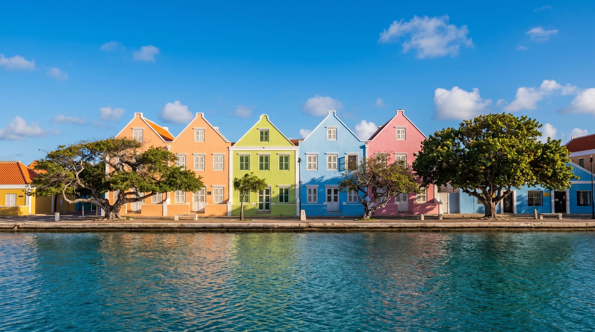
 AI generated
n° 307, latin america
Kralendijk, bonaire.
For divers and underwater photographers using it as a long-stay base. Skip if you want nightlife, shopping, or anything other than diving.
- cost / mo
- $604
- internet
- 25 Mbps
- visa-free · eu
- 90 days
straight answers about Kralendijk
the scores
Four perspectives on city fit.
Open any score for a plain-language view of the city's strengths and tradeoffs.
your monthly budget
default $700–$4,500 range · drag to personalize
score priority
balanced across the factors that matter
Scores adapt to your selected budget and priority. Each ring is clickable for a plain-language breakdown of the city's strengths and tradeoffs.
monthly cost · estimate
$604/mo
Component-level data not yet collected for this city.
in one sentence · curated
ExpatWhy editorial.
Kralendijk is the capital of a 21,000-person island that turned its entire coastline into a marine park and built one of the world's most accessible shore-diving systems.
editorial
The case & the friction.
ExpatWhy editorial
A one-bedroom apartment near downtown Kralendijk runs $900–$1,400, and a meal at a casual local spot costs $15–$25. Bonaire has used the US dollar since 2011, when it became a special municipality of the Netherlands. The defining feature is shore diving: 60+ yellow-stone-marked dive sites are accessible directly from a rented pickup truck, no boat required, pull up, tank up, walk in. The southern Salt Flats with their pink-water flamingo lagoons and the obelisks from the colonial salt trade are the other half of the island.
The friction is the trade-offs of being small. There are essentially no cruise-ship overruns (a deliberate policy choice), but there is also no nightlife scene worth the name, one supermarket chain, and limited medical infrastructure for serious cases, Curaçao is the medevac referral. Climate is hot dry tropical, 27–30°C year-round. Bonaire sits outside the standard hurricane belt, direct hits are extremely rare, though 2024's Beryl tracked nearby.
As a Caribbean Netherlands BES territory, Bonaire operates under a Schengen-Caribbean framework: EU passports get easy access, US/UK/CA passports get 90 days visa-free, and the Dutch residency framework is distinct from European Schengen. Dutch and Papiamentu are official; English is widely spoken given the dive-tourism base. Crime is minimal by Caribbean standards.
Verdict: For divers, free-divers, and underwater photographers who want a base camp not a vacation. Not for nightlife travelers, beach-resort tourists, or anyone who needs urban infrastructure, Bonaire is a dive operation with a town attached.
verdict
For divers and underwater photographers using it as a long-stay base. Skip if you want nightlife, shopping, or anything other than diving.
work & connectivity
Getting work done.
work-friendly density · OSM
No mapped spots within 11 km.
coworking spaces
0
wifi cafés
0
OSM tagging coverage in Latin America is uneven, real density is likely higher than shown. Cross-check on the ground.
© OpenStreetMap contributors · ODbL 1.0
when to visit
Twelve months of weather.
best month
Mar
Visit in March, 28°C, only 10mm of rain.
Off-season November–December, weather turns to 29°C and 84mm of rain, and hotel rates typically drop 20–40% from peak.
temperaturerainfallcurrent monthbest month
air quality · 12 months verified
When the air turns.
Hourly PM2.5 averaged by calendar month from modelled atmospheric data, window 2025-07-08 → 2026-07-07. WHO annual guideline is 5 µg/m³.
annual mean
8.4µg/m³
Good
worst month
Jun · 12 µg/m³
Good
cleanest month
Jan · 7 µg/m³
Good
annual swing
5 µg/m³
Stable year-round
Cleanest air in January (7 µg/m³); worst in June (12 µg/m³).
Annual mean is well within WHO targets, no special precautions needed.
Modelled, not measured at a station: near coasts atmospheric models can count sea salt as PM2.5 and read high against ground networks. Read the curve, not the absolute.
natural risk
The numbers other sites don't show.
seismic risk · 50 yr · 200 km
Very low seismic exposure.
M5+ events
6
M6+ events
2
largest
M6.4
Largest recorded: M6.4 in 2009.
In practice: Moderate seismic background (6 M5+ in 50 years), modern construction handles this well, but verify building era for older rentals.
tropical storms · 46 yr · 200 km
Low cyclone exposure.
named storms
19
cat 1+ hurricanes
3
In practice: 19 named storms tracked in 46 years, but only 3 reached hurricane strength, light exposure, mostly a planning footnote for beach trips.
–Kralendijk is the capital of a 21,000-person island that turned its entire coastline into a marine park and built one of the world's most accessible shore-diving systems.
quality of life
Sun for more than three thousand hours a year, almost no grey winter.
4,139
hours
Modelled 12-month sum
country-level rights indicator
country-level safety indicator
12-month modelled average
derived from monthly rainfall
vs Berlin 09–17 · America/Kralendijk
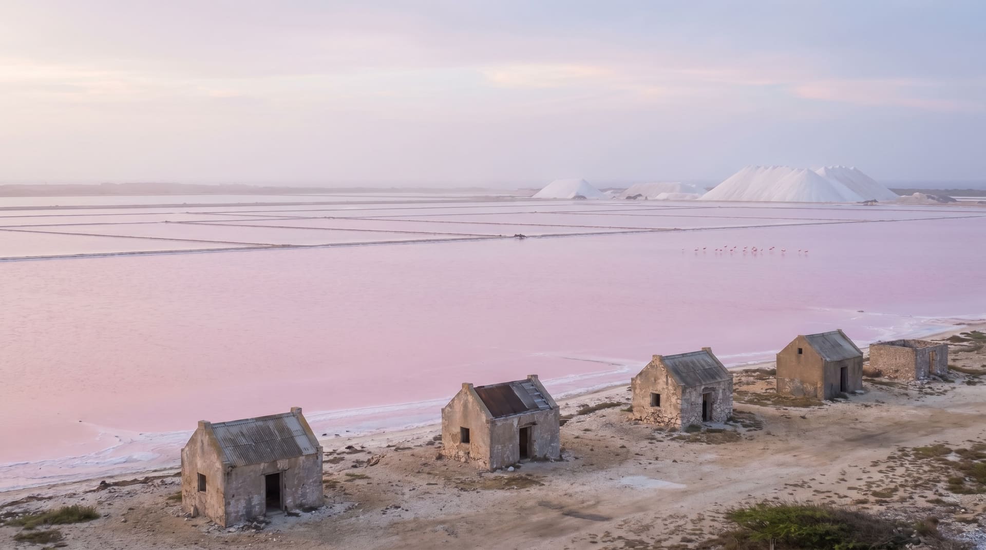
–For divers and underwater photographers using it as a long-stay base. Skip if you want nightlife, shopping, or anything other than diving.
ExpatWhy editorial
what to know
Pros & cons.
pros
- Budget-friendly for solo nomads
- Low air pollution (annual PM2.5)
cons
- Slow average internet speeds
visa & stay
How long can you stay?
- digital nomad visa
- No, not yet
- visa-free for EU passport
- 90 days
- visa-free for US passport
- 90 days
visa figures as of August 2026 · verify with official immigration sources before traveling
before you go
What to plan around.
Drawn only from the verified figures on this page, the things worth knowing before you book.
Seismically active region
2 quakes of M6+ within 200 km over 50 years (strongest M6.4). Know your building's earthquake rating before signing a lease.
Tropical storm exposure
3 hurricanes and 19 tropical storms passed within 200 km over 46 years. Avoid peak storm season and check that travel insurance covers weather disruption.
compare side-by-side
Kralendijk versus three popular alternatives.
you might also like
Where to go next.
Closer on the map, closer on the wallet, or closer on the way it feels.
closest on the wallet
Other budget cities, different continent.
Same band as Kralendijk, budget (under $1,500/mo), outside latin america.
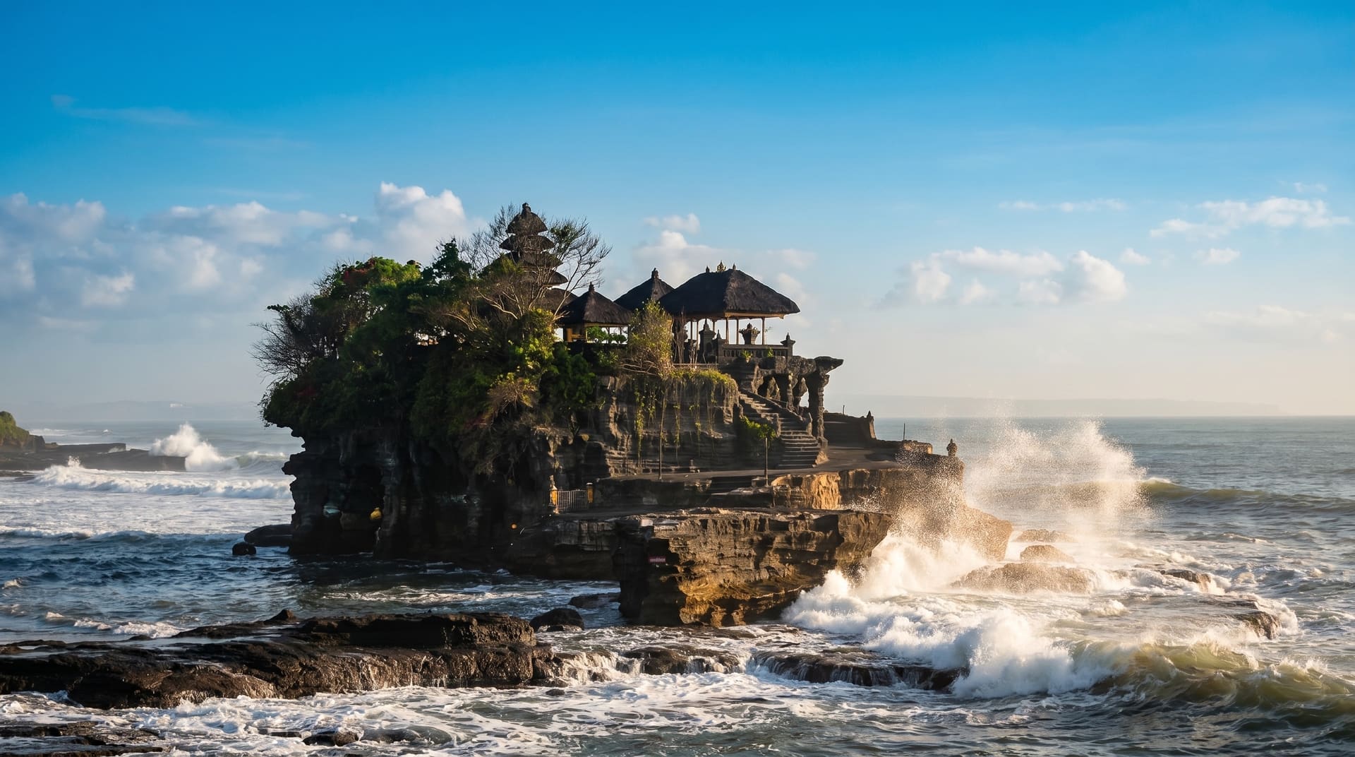
asia
7.0Canggu, indonesia.
A budget asia option with a nomad-visa pathway.
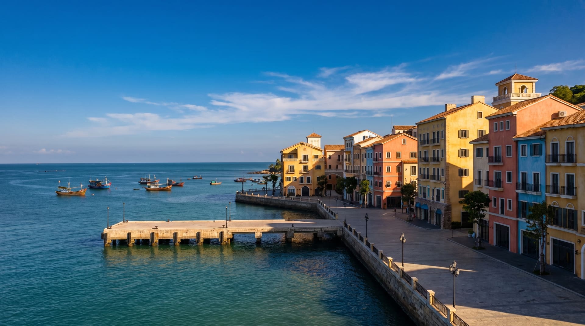
asia
6.9Phu Quoc, vietnam.
A budget asia option with limited visa-free access.
asia
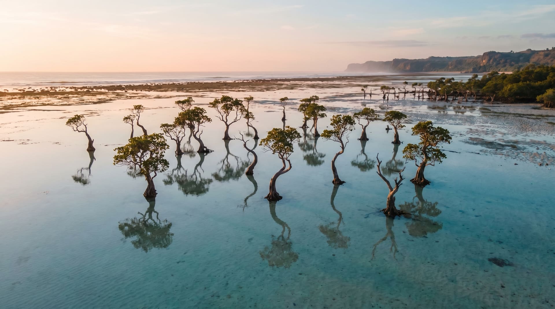
6.9Sumba, indonesia.
A budget asia option with a nomad-visa pathway.
closest on the way it feels
Same wellbeing, different climate.
Cities that score like Kralendijk on quality-of-life but trade tropical for something else.
asia
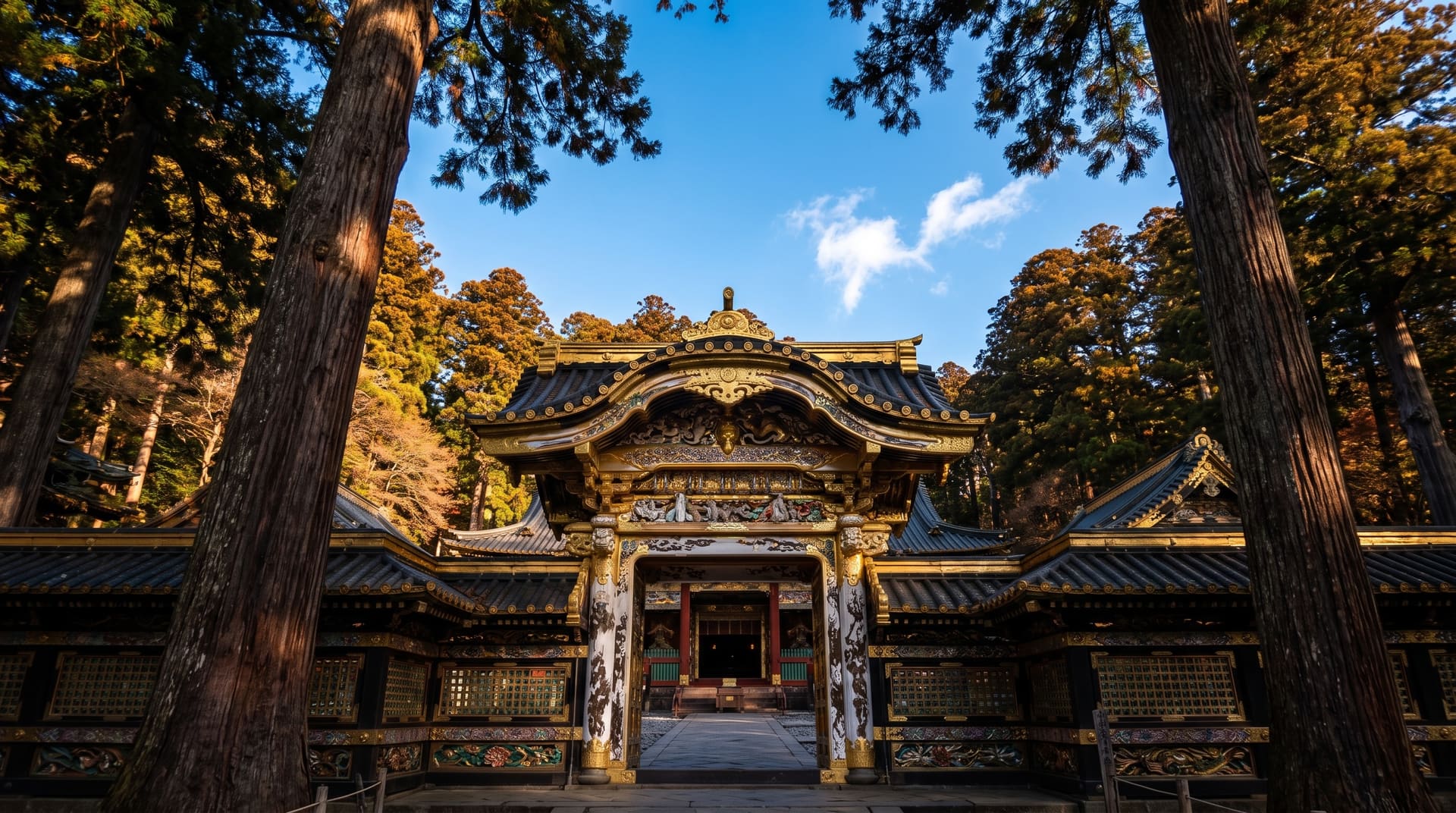
8.6Nikko, japan.
A budget asia option with workable visa-free EU access.
north america
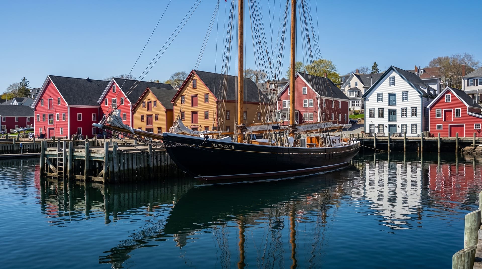
8.1Lunenburg, canada.
A mid-tier north america option with workable visa-free EU access.
europe
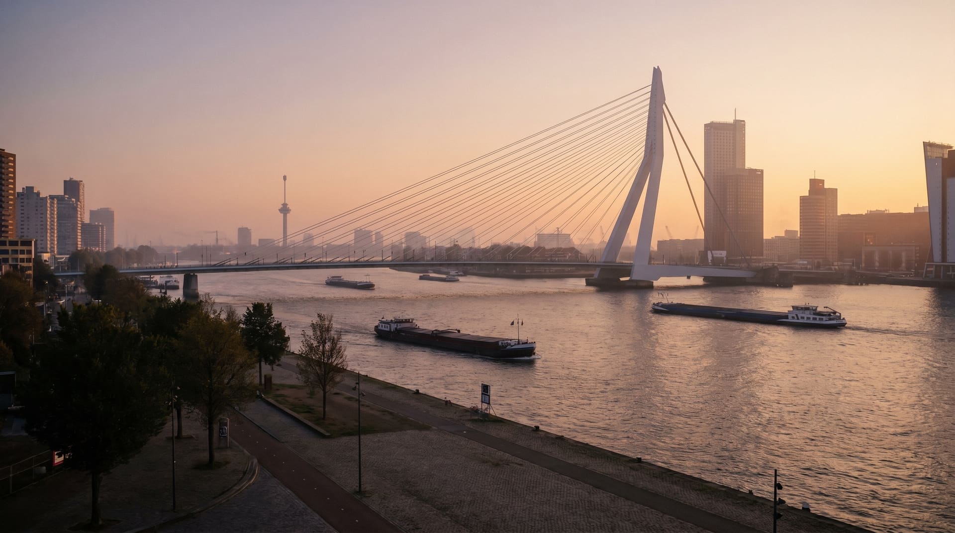
8.0Rotterdam, netherlands.
A budget europe option with workable visa-free EU access.
where Kralendijk ranks
Kralendijk also makes these lists.
The cheapest cities for digital nomads
solo nomads live for ~$604/mo here
Cities with the cleanest air, ranked by verified PM2.5
8 µg/m³ annual PM2.5 verified by CAMS
LGBTQ+ friendly cities for digital nomads
8.8/10 country-level rights indicator
The sunniest cities for digital nomads
4,139 sun hours / year
frequently asked
Kralendijk, honest answers.
- How much does it cost to live in Kralendijk per month?
- Solo monthly burn in Kralendijk is estimated around $604, covering a central 1-bedroom, food, mobile, utilities, transit, and a small coworking allowance. This is a pipeline estimate; rent verified for cities marked with the ✓ badge.
- What visa do I need to live in Kralendijk?
- EU passports get 90 days visa-free; US passports get 90 days. Longer stays require a residence permit or remote-worker visa, verify at the country's official immigration site.
- How is the air quality in Kralendijk?
- Annual PM2.5 averages 8 µg/m³, which above WHO target but moderate. The 12-month curve on this page shows the seasonal swing, many cities have a sharp burning season or winter inversion that doesn't show in the annual number.
- When is the best time to visit Kralendijk?
- Mar typically scores best on our combined comfort index, average temperature 28°C, low rainfall, high sunshine. Each city's Climate Chart on this page shows the full 12-month picture.
- Are there earthquakes in Kralendijk?
- Yes, the historical record includes 6 M5+ earthquakes and 2 M6+ within 200 km over the last 50 years. The largest was M6.4 in 2009. Modern buildings in major cities are engineered for this; factor it into long-stay decisions.
where it is
Kralendijk on the map.
Kralendijk, Bonaire, Latin America.
12.1500, -68.2767
Map tiles & data © OpenStreetMap contributors.