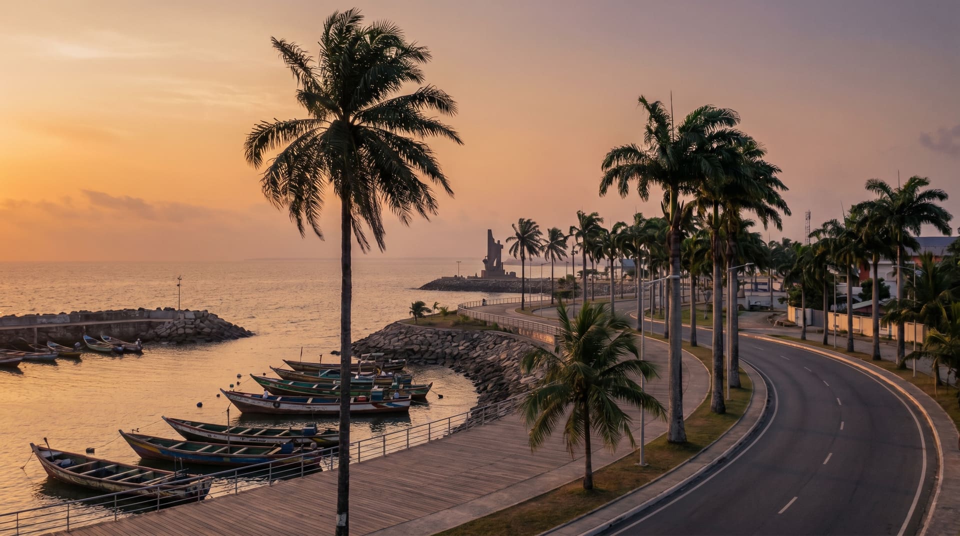
 AI generated
n° 459, africa
Bata, equatorial guinea.
For contractors with a sponsor letter. Not for independent nomads, journalists, photographers, or anyone allergic to authoritarian friction.
- cost / mo
- $582
- internet
- 15 Mbps
- visa-free · eu
- –
straight answers about Bata
the scores
Four perspectives on city fit.
Open any score for a plain-language view of the city's strengths and tradeoffs.
your monthly budget
default $700–$4,500 range · drag to personalize
score priority
balanced across the factors that matter
Scores adapt to your selected budget and priority. Each ring is clickable for a plain-language breakdown of the city's strengths and tradeoffs.
monthly cost · estimate
$582/mo
Component-level data not yet collected for this city.
in one sentence · curated
ExpatWhy editorial.
Bata is the mainland capital of one of the hardest countries in the world to enter, ruled by the same family since 1979, go only if you have a contract.
editorial
The case & the friction.
ExpatWhy editorial
A furnished apartment near Paseo Marítimo, the Chinese-built waterfront promenade, costs 350,000-500,000 XAF/month ($580-$830), and you will pay it in cash, in advance, to a landlord who answers to someone connected. Restaurants on the Paseo charge 15,000-25,000 XAF ($25-$41) for a basic dinner. Imported everything: the country runs on oil money and imports the rest.
Dry season is December-February, the only stretch without afternoon downpours. March-November is hot wet equatorial, 27-31°C with daily storms. Mongomeyén dam and Monte Alén National Park (lemurs, forest elephants) are 50-150 km inland, you need permits and a fixer.
The visa is the friction: $250+, letter of invitation required, processing measured in weeks, frequent rejection. Spanish is official and useful; French and Fang fill the rest. Photography of any government building, port, or person in uniform will get you detained, this is not theoretical. Internet is GETESA, slow and monitored, 10-25 Mbps on a good day.
Security on the street is fine; the security from the state is the issue. Roadblocks are routine. Carry passport copies, never originals, and never argue.
verdict
For contractors with a sponsor letter. Not for independent nomads, journalists, photographers, or anyone allergic to authoritarian friction.
work & connectivity
Getting work done.
work-friendly density · OSM
Untagged or thin for laptop work.
coworking spaces
0
wifi cafés
1
OSM tagging coverage in Africa is uneven, real density is likely higher than shown. Cross-check on the ground.
In practice: Light infrastructure (0 coworking, 1 wifi cafés on OSM), bring a fast local SIM as your fallback, and pick accommodation with a proper desk.
© OpenStreetMap contributors · ODbL 1.0
when to visit
Twelve months of weather.
best month
Aug
Visit in August, 25°C, only 68mm of rain.
Off-season May–June, monsoon brings 341mm/month, and hotel rates typically drop 20–40% from peak.
temperaturerainfallcurrent monthbest month
air quality · 12 months verified
When the air turns.
Hourly PM2.5 averaged by calendar month from modelled atmospheric data, window 2025-07-08 → 2026-07-07. WHO annual guideline is 5 µg/m³.
annual mean
9.4µg/m³
Good
worst month
Jul · 14 µg/m³
Good
cleanest month
Nov · 6 µg/m³
Good
annual swing
8 µg/m³
Stable year-round
Cleanest air in November (6 µg/m³); worst in July (14 µg/m³).
Annual mean is well within WHO targets, no special precautions needed.
Modelled, not measured at a station: near coasts atmospheric models can count sea salt as PM2.5 and read high against ground networks. Read the curve, not the absolute.
natural risk
The numbers other sites don't show.
seismic risk · 50 yr · 200 km
Very low seismic exposure.
M5+ events
1
M6+ events
0
largest
M5.5
Largest recorded: M5.5 in 2019.
In practice: A handful of moderate quakes over 50 years, rare enough that building codes don't dominate your housing decisions.
tropical storms · 46 yr · 200 km
Outside the cyclone belt.
named storms
0
cat 1+ hurricanes
0
In practice: No tropical storms tracked within 200 km in 46 years, no storm-season window to plan around.
–Bata is the mainland capital of one of the hardest countries in the world to enter, ruled by the same family since 1979, go only if you have a contract.
quality of life
More signal than the headline numbers.
country-level rights indicator
country-level safety indicator
12-month modelled average
derived from monthly rainfall
vs Berlin 09–17 · Africa/Malabo
–For contractors with a sponsor letter. Not for independent nomads, journalists, photographers, or anyone allergic to authoritarian friction.
ExpatWhy editorial
what to know
Pros & cons.
pros
- Budget-friendly for solo nomads
- Low air pollution (annual PM2.5)
cons
- Slow average internet speeds
- Very humid most of the year
visa & stay
How long can you stay?
- digital nomad visa
- No, not yet
- visa-free for EU passport
- –
- visa-free for US passport
- –
visa figures as of August 2026 · verify with official immigration sources before traveling
before you go
What to plan around.
Drawn only from the verified figures on this page, the things worth knowing before you book.
US passport: visa needed before arrival
US passports need a visa arranged in advance, there is no visa-free entry to plan around.
EU passport: visa needed before arrival
EU passports need a visa arranged in advance, there is no visa-free entry to plan around.
Pronounced wet season
Rain peaks around May, Sep & Nov, up to 360 mm in the wettest month. Time a visit for the drier half of the year.
compare side-by-side
Bata versus three popular alternatives.
you might also like
Where to go next.
Closer on the map, closer on the wallet, or closer on the way it feels.
closest on the wallet
Other budget cities, different continent.
Same band as Bata, budget (under $1,500/mo), outside africa.
latin america
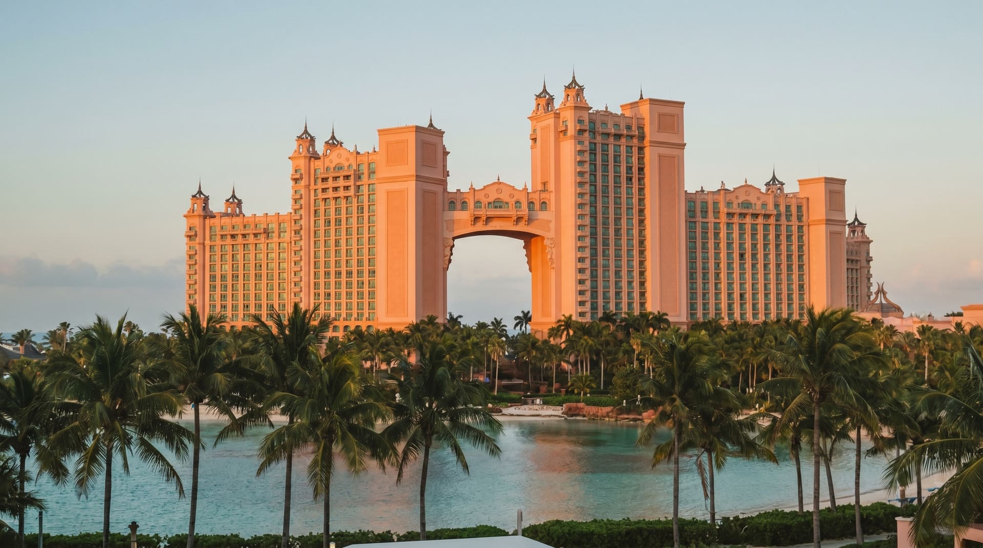
7.1Nassau, bahamas.
A budget latin america option with workable visa-free EU access.
asia
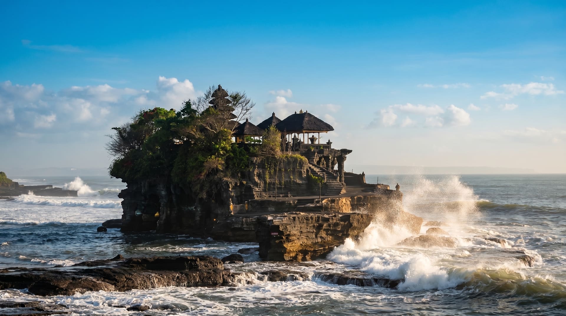
7.0Canggu, indonesia.
A budget asia option with a nomad-visa pathway.
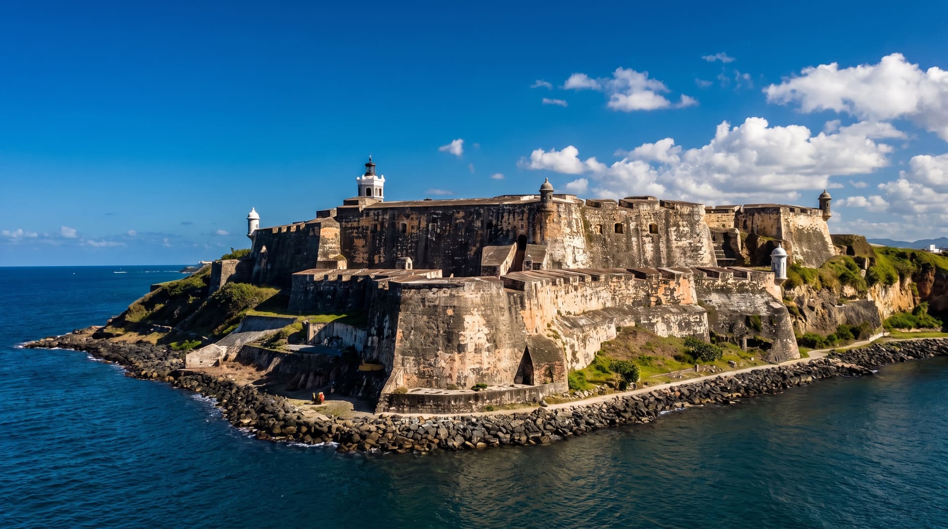
latin america
7.0San Juan, puerto rico.
A budget latin america option with workable visa-free EU access.
closest on the way it feels
Same wellbeing, different climate.
Cities that score like Bata on quality-of-life but trade tropical for something else.

asia
9.0Kanazawa, japan.
A budget asia option with workable visa-free EU access.
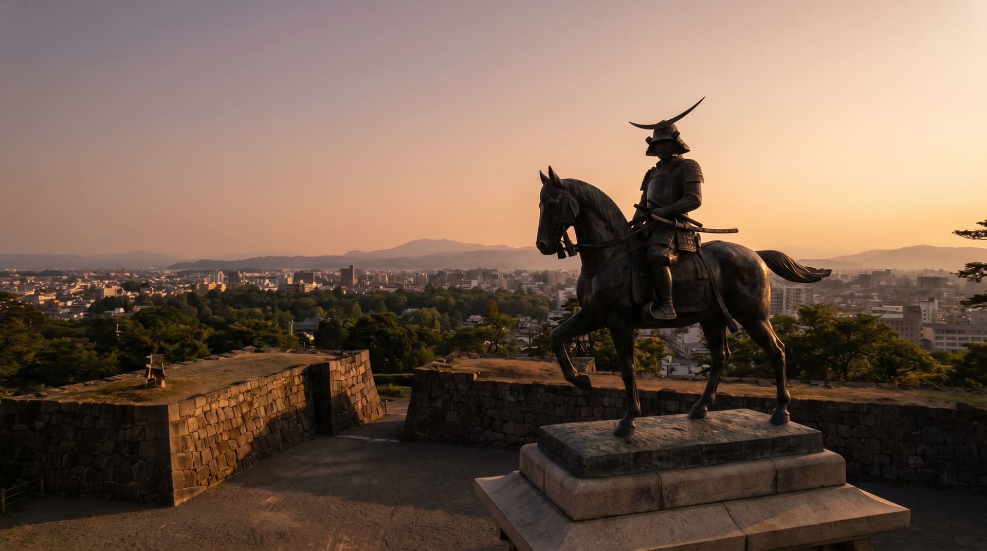
asia
8.9Sendai, japan.
A budget asia option with workable visa-free EU access.
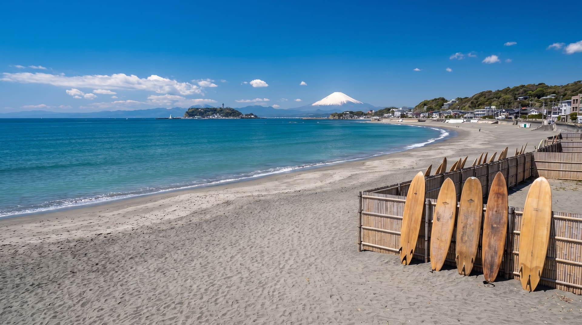
asia
8.2Kamakura, japan.
A budget asia option with workable visa-free EU access.
where Bata ranks
Bata also makes these lists.
The cheapest cities for digital nomads
solo nomads live for ~$582/mo here
Cities with the cleanest air, ranked by verified PM2.5
9 µg/m³ annual PM2.5 verified by CAMS
Cities outside the tropical-cyclone belt
no tropical cyclones within 200 km since 1980
The sunniest cities for digital nomads
3,111 sun hours / year
frequently asked
Bata, honest answers.
- How much does it cost to live in Bata per month?
- Solo monthly burn in Bata is estimated around $582, covering a central 1-bedroom, food, mobile, utilities, transit, and a small coworking allowance. This is a pipeline estimate; rent verified for cities marked with the ✓ badge.
- How is the air quality in Bata?
- Annual PM2.5 averages 9 µg/m³, which above WHO target but moderate. The 12-month curve on this page shows the seasonal swing, many cities have a sharp burning season or winter inversion that doesn't show in the annual number.
- When is the best time to visit Bata?
- Aug typically scores best on our combined comfort index, average temperature 25°C, low rainfall, high sunshine. Each city's Climate Chart on this page shows the full 12-month picture.
- Are there earthquakes in Bata?
- Yes, the historical record includes 1 M5+ earthquakes and 0 M6+ within 200 km over the last 50 years. The largest was M5.5 in 2019. Modern buildings in major cities are engineered for this; factor it into long-stay decisions.
where it is
Bata on the map.
Bata, Equatorial Guinea, Africa.
1.8639, 9.7658
Map tiles & data © OpenStreetMap contributors.